
Rain, flooding, climate change… a response from GeoInsurance Ireland
- November 13, 2019

The first GeoInsurance Ireland event took place last week on a rainy Thursday morning in the Marker Hotel in Dublin. Despite, or perhaps because of, the weather the turnout was excellent and the event was a great success. We are already looking forward to running it again next year.
There were six speakers from a variety of backgrounds.
Feargal O’Neill set the scene, noting that climate change, and the rises in sea level in particular, will have significant impacts in Ireland. Sea level rise was also discussed in varying levels of detail by most of the speakers at the event, but Feargal detailed the sheer size of the impact, with some models showing upwards of 120,000 Irish addresses potentially impacted by a 3C rise in temperature, which is widely anticipated by 2100.
Climate Central Extreme Coastal Water Level (ECWL) data for Dublin.
Barry O’Dwyer gave an in-depth overview of the changes currently happening to the global and Irish climate. In addition to sea level rise, heat stress is expected to rise in summer along with a 30% increase in very wet days in winter, leading to increased flooding.
Current flood risk models are evolving rapidly. Jill Boulton detailed some of the work being carried out by JBA Risk Management to improve height models and flood models. Simply adding water to height models is insufficient; significant edits are required to the models along with derived catchment descriptions, estimations of peak flows and extrapolation of hydrographs.
Machine learning and AI are also changing the approaches to and outputs from modelling. Charlotte Cuffe discussed the application of machine learning in looking at risk, with a spatial slant. Biases in data are a significant issue. However, including wide but shallow datasets alongside more detailed but narrowly focussed data can improve model accuracy.
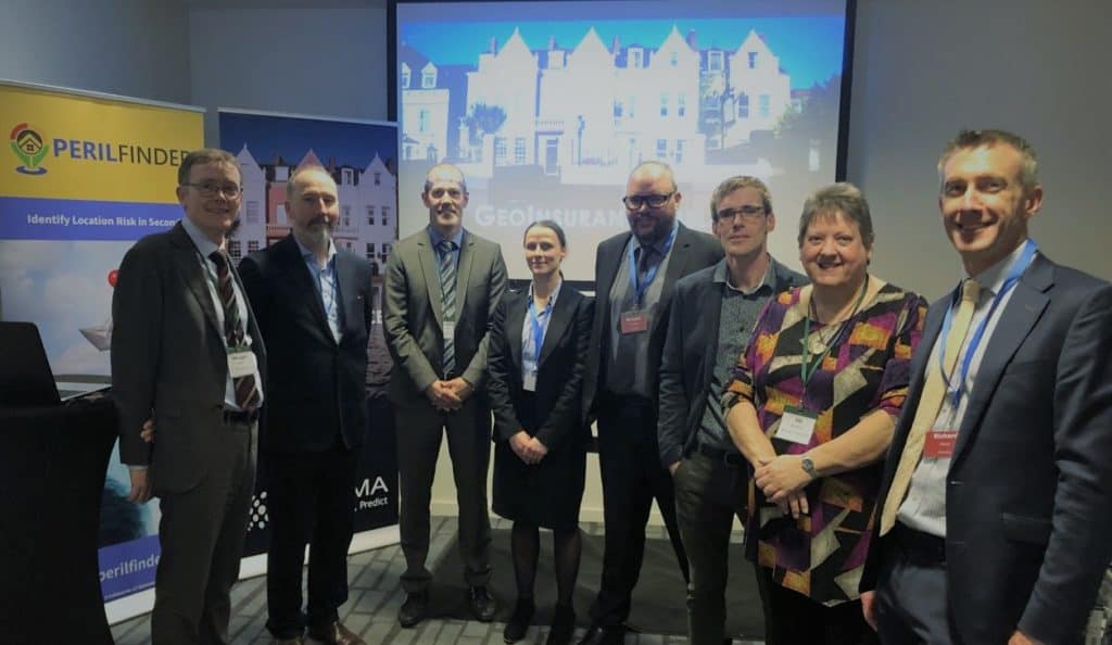
Morgan Nolan, Feargal O’Neill, Vincent Bonny, Charlotte Cuffe, Richard Cantwell, Barry O’Dwyer, Jill Boulton & Richard Garry.
Vincent Bonny approached climate change from a reinsurance viewpoint, noting that spatial data is highly suited to analysing risk accumulations, which involve static exposures. However, there are significant challenges with integrating this data and making it useful and actionable. Vincent highlighted the need for an international cross-border georeferenced address database that uses a universal reference code to allow address data to be shared more easily. A unique code for every address in the world would have huge benefits in spatial analysis and data integration for many purposes.
Accurate geocoding is central to understanding portfolio risk, and Morgan Nolan gave an update on the uptake of Eircode across business and the public. Morgan also showed us where most new residential dwellings are being constructed. Some of these are in areas that Barry noted will be subject to increased risk from sea level rise.
The final speaker, Richard Cantwell, looked at the wide variety of new sources of data becoming available, which will speed up claims assessment and will improve the coverage and accuracy of risk models. Remotely sensed data from the Sentinel satellite constellation of the EU’s Copernicus programme has a wide range of potential applications across flood impact assessment and ground movement monitoring, although the data does require significant pre and post processing. Richard also spoke on improvements in lidar data, allowing high resolution building modelling where roof condition and solar panels can be detected at property level.
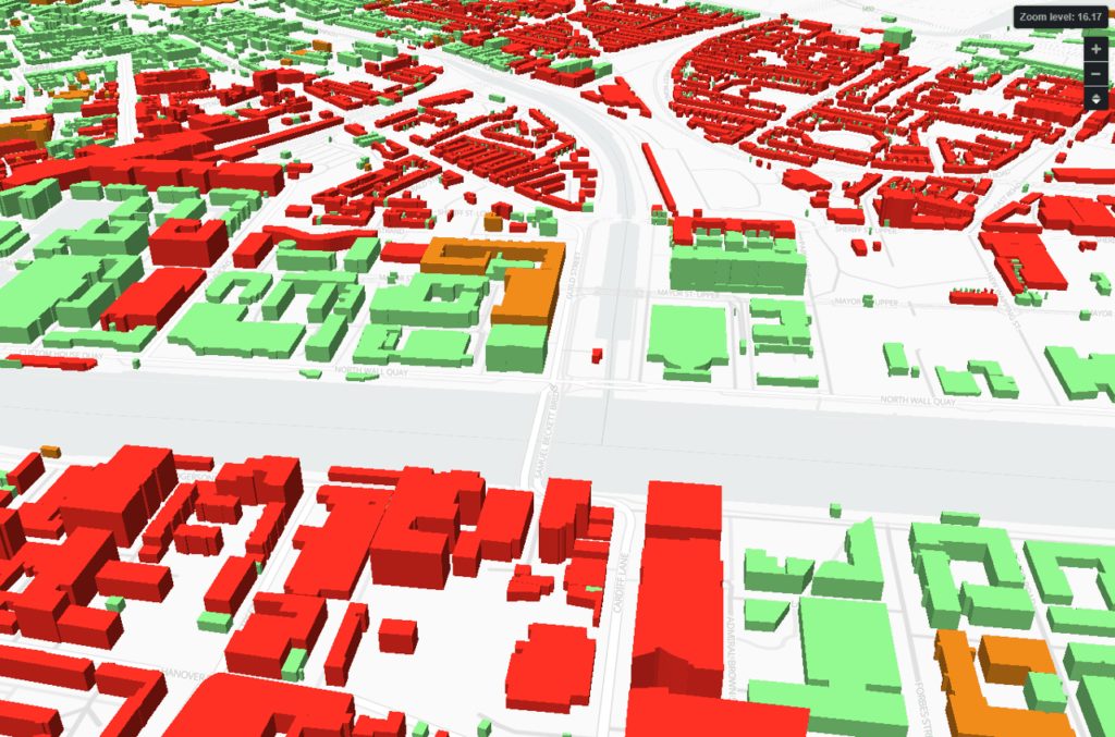
Ordnance Survey Ireland building outline data tagged with JBA flood risk and experimental building height data from various sources.
The event then concluded with a panel discussion. David Parke from Aviva noted that the new data sources detailed by Richard Cantwell were of particular interest to the insurance industry.
In response to questions about the impacts of climate change on the housing market, Barry O’Dwyer noted that the climate change was likely to be felt greatest at river mouths and estuaries, where the increase in tidal depth and storm surges meet rising river waters from increased rainfall and storm events. Cork is an example where this combination of impacts could be very damaging.
There were also plenty of insightful questions along the way from the highly engaged audience. See you there again next year.
@ 2019 Gamma.ie by Monika Ghita
About Gamma
Gamma is a Location Intelligence (LI) solutions provider; we integrate software, data and services to help our clients reduce risk through better decision-making. Gamma was established in 1993 and was the first company to develop LI for the private sector in Ireland. The company has expanded to become a global provider of cloud-hosted LI systems, micro-marketing solutions and related services. Gamma Location Intelligence’s Perilfinder™ risk mapping platform is the number one underwriting solution used by Irish insurers to assess environmental risk.